Historical Maps
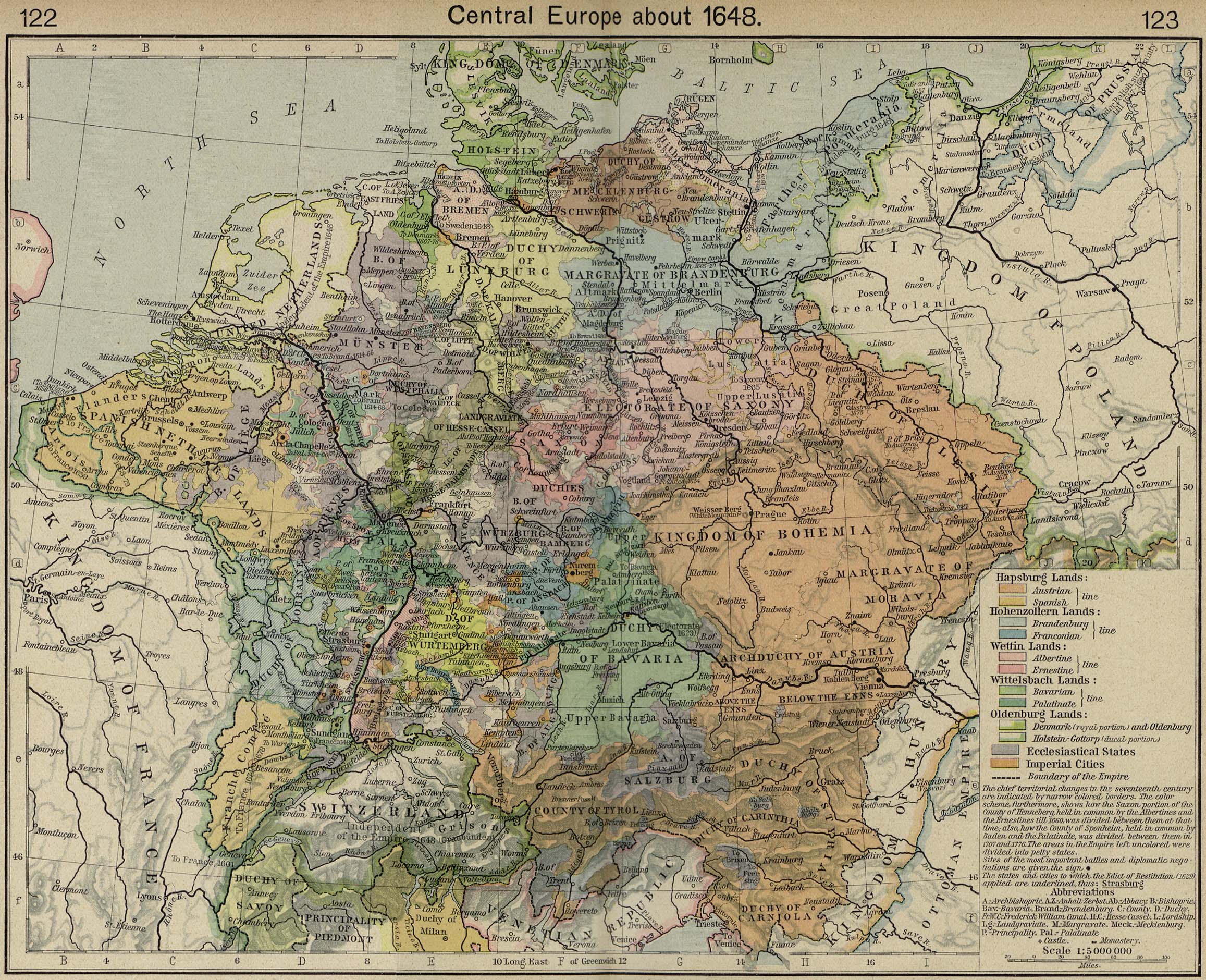
1648 Central Europe
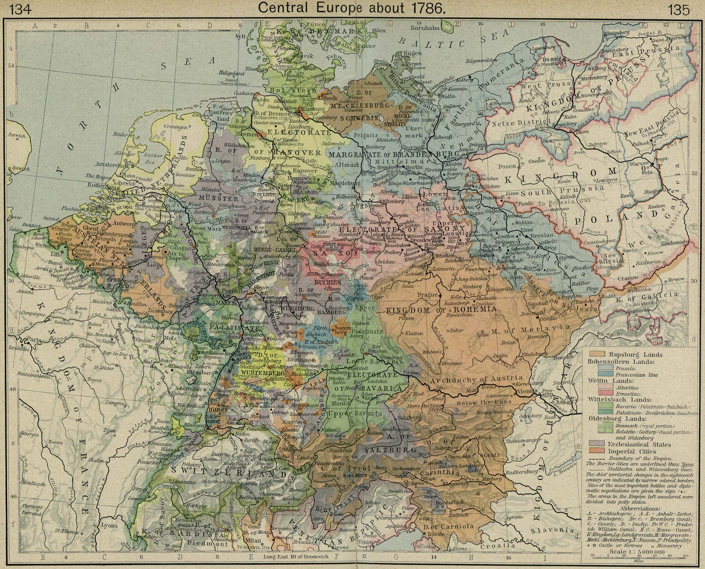
1786 Central Europe
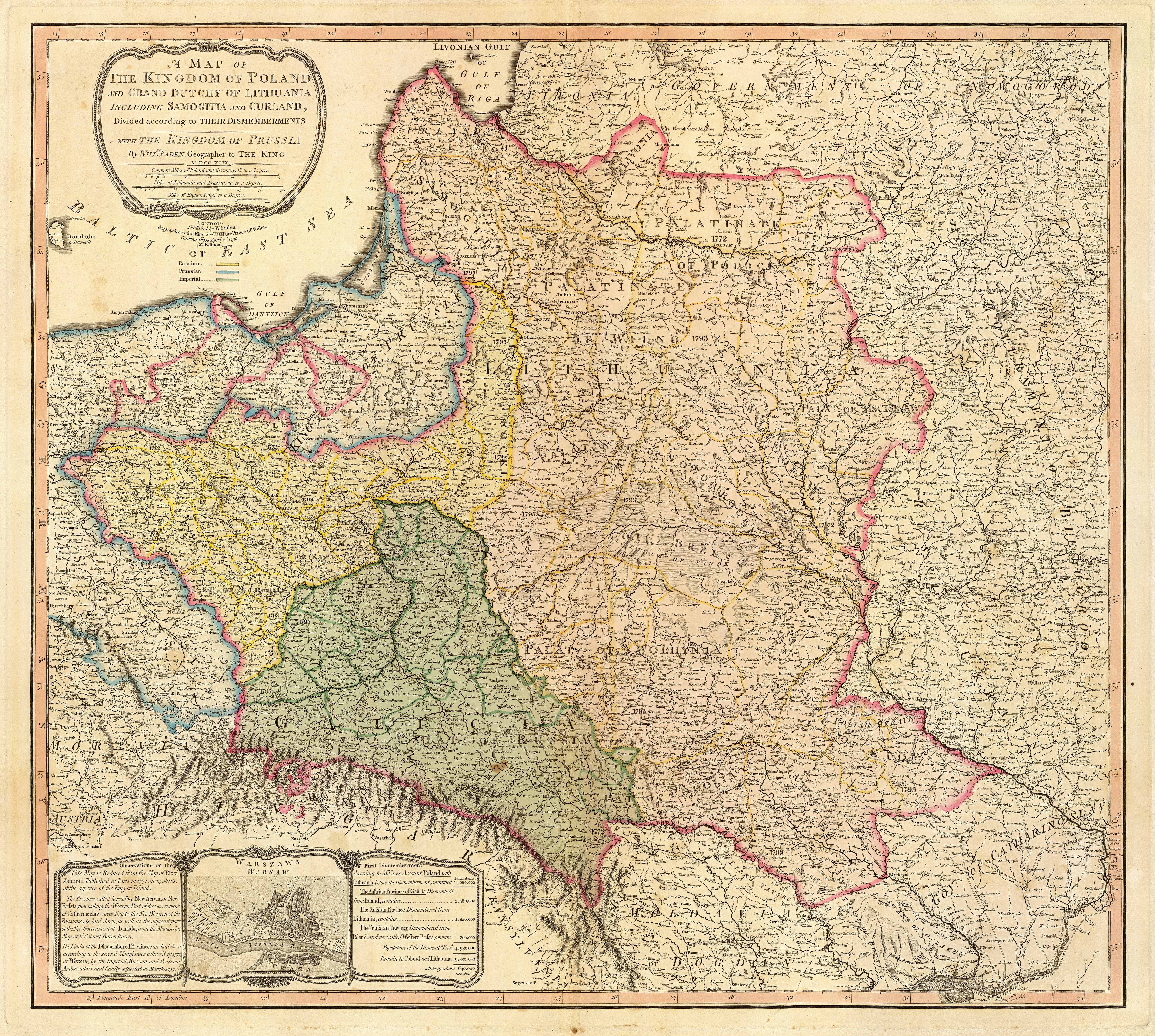
1799 Poland and Lithuania
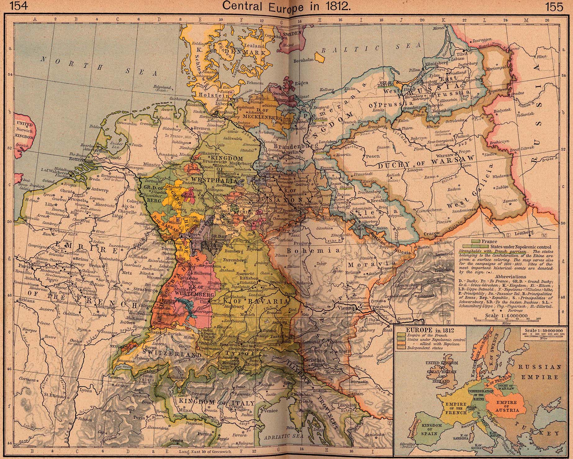
1812 Central Europe
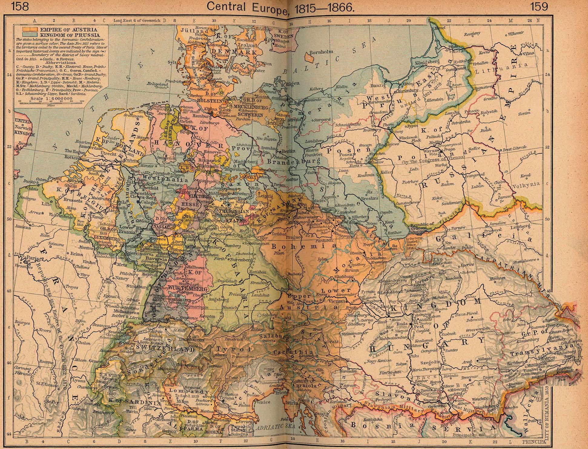
1815-1866 Central Europe
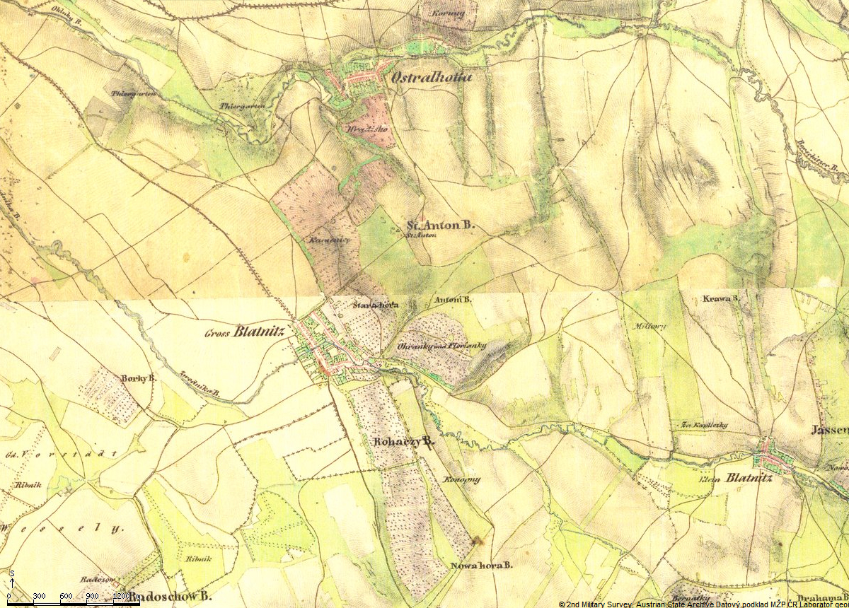
1836 Blatnice pod Svatým Antonínkem (Groß Blatnitz)
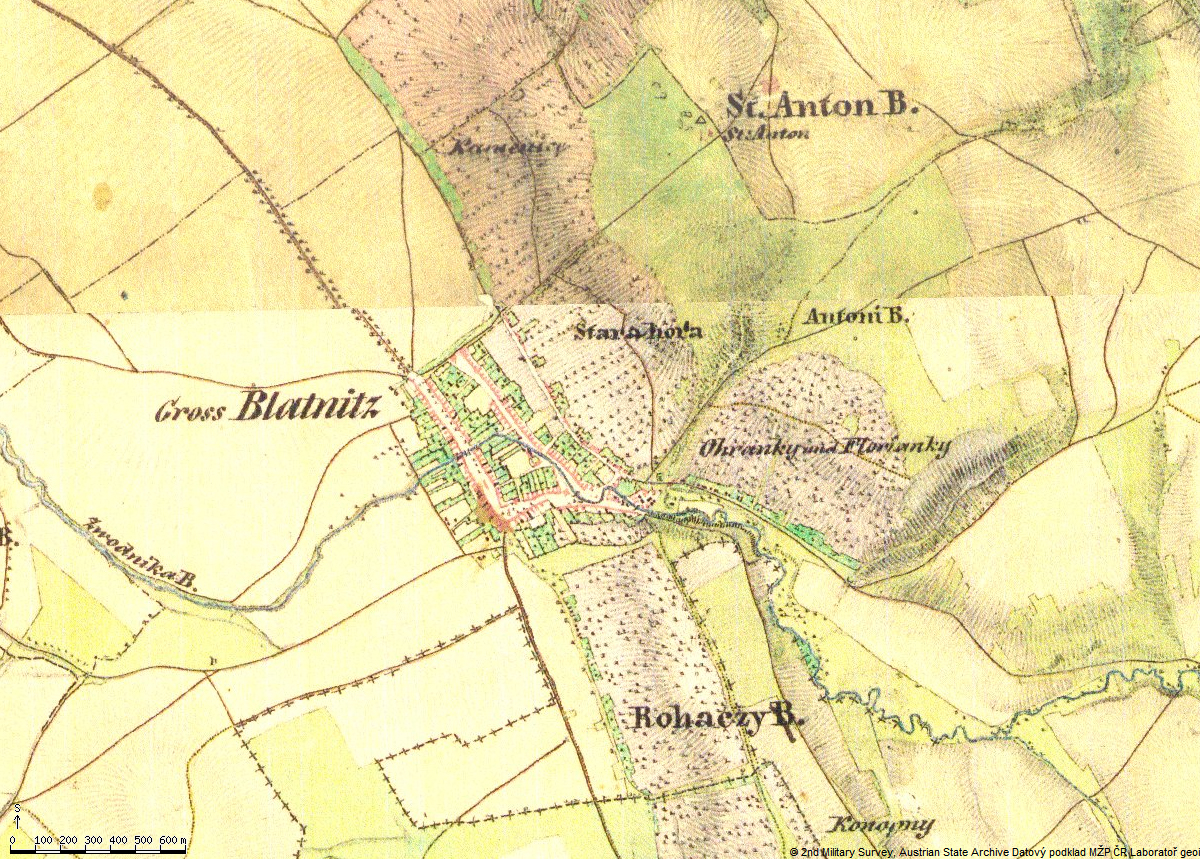
1836 Blatnice pod Svatým Antonínkem (Groß Blatnitz) [zoom]
1910 Blatnice pod Svatým Antonínkem (Groß Blatnitz)
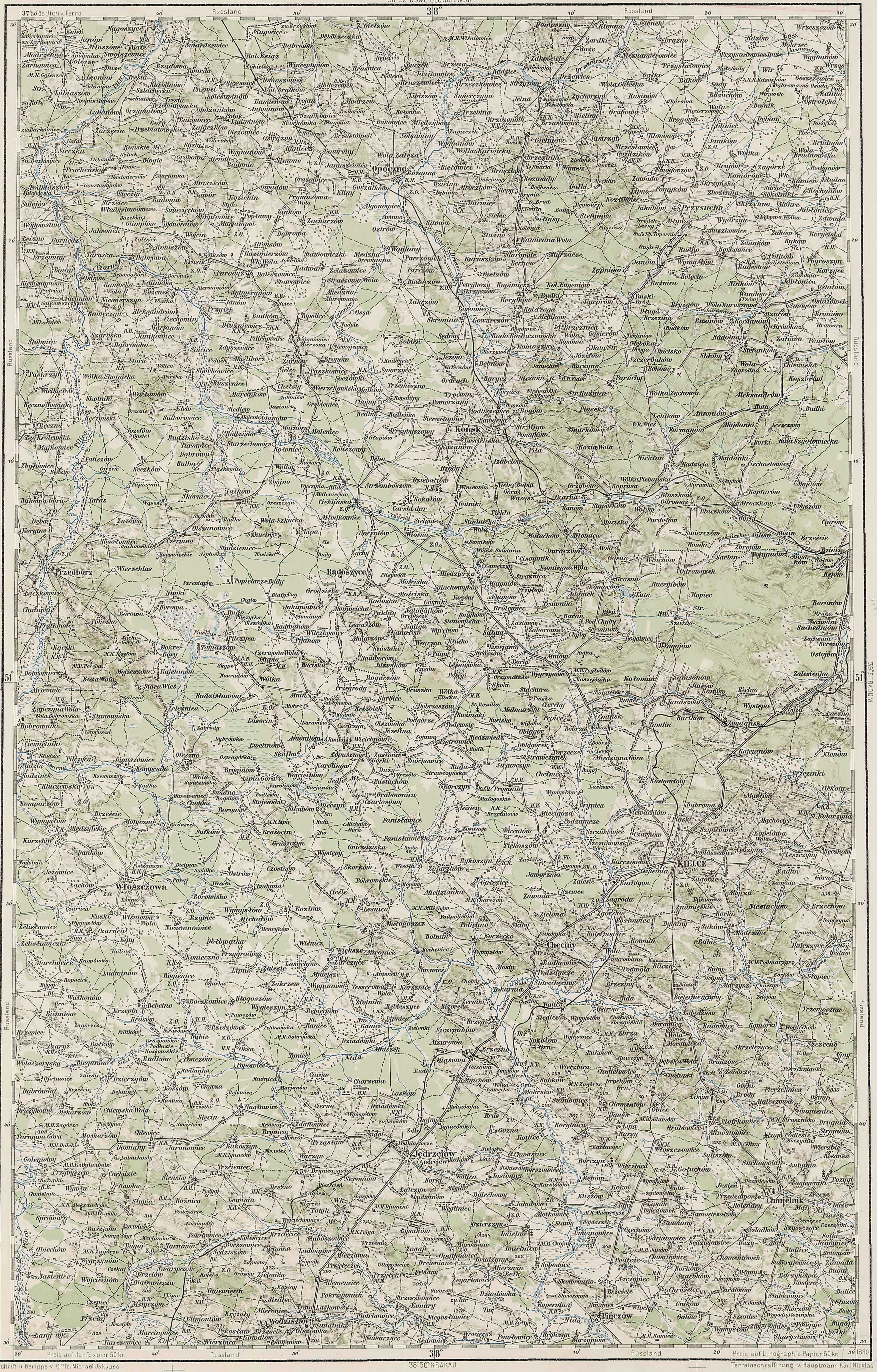
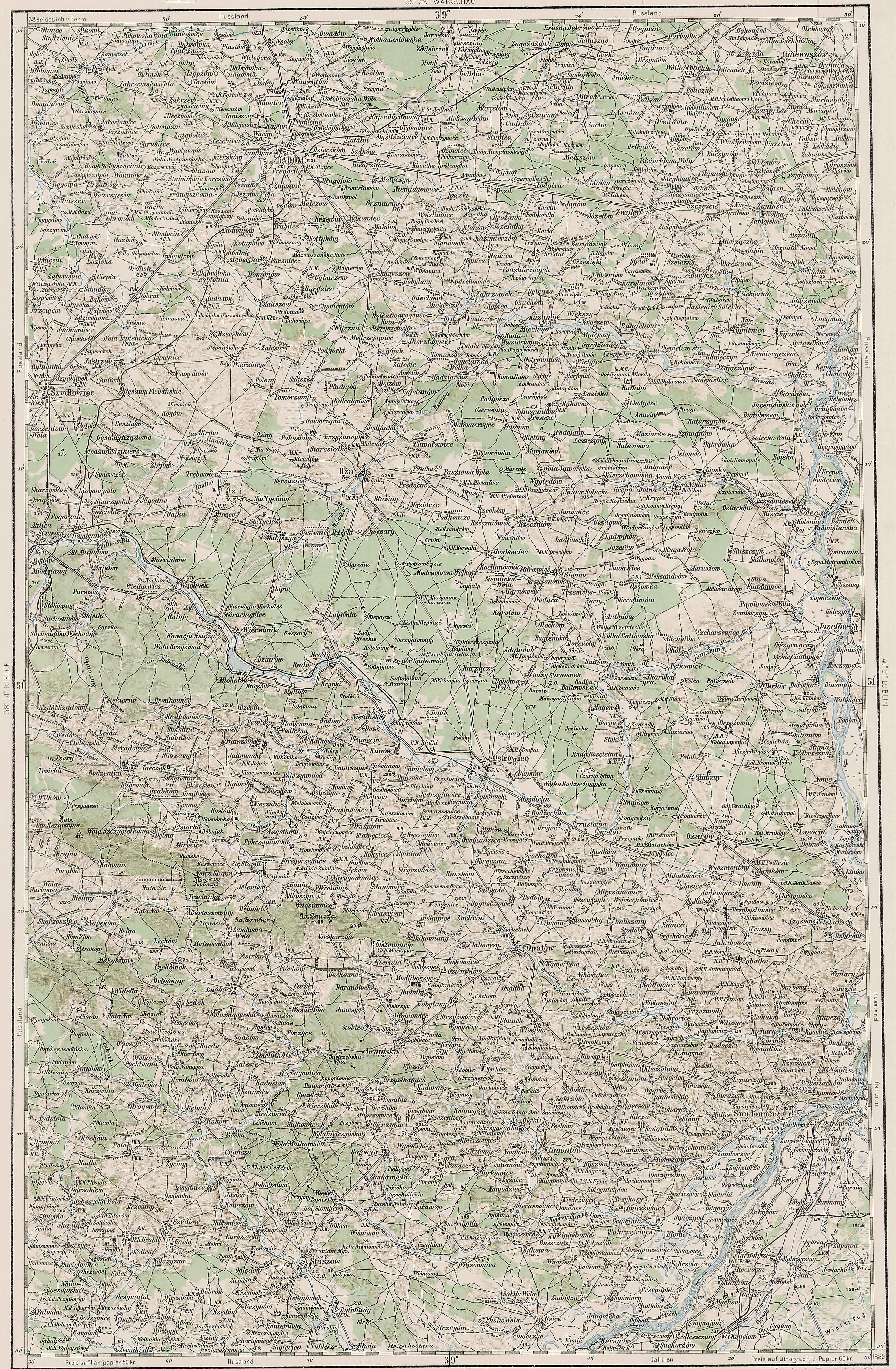
1910 Central Poland under Russian Empire
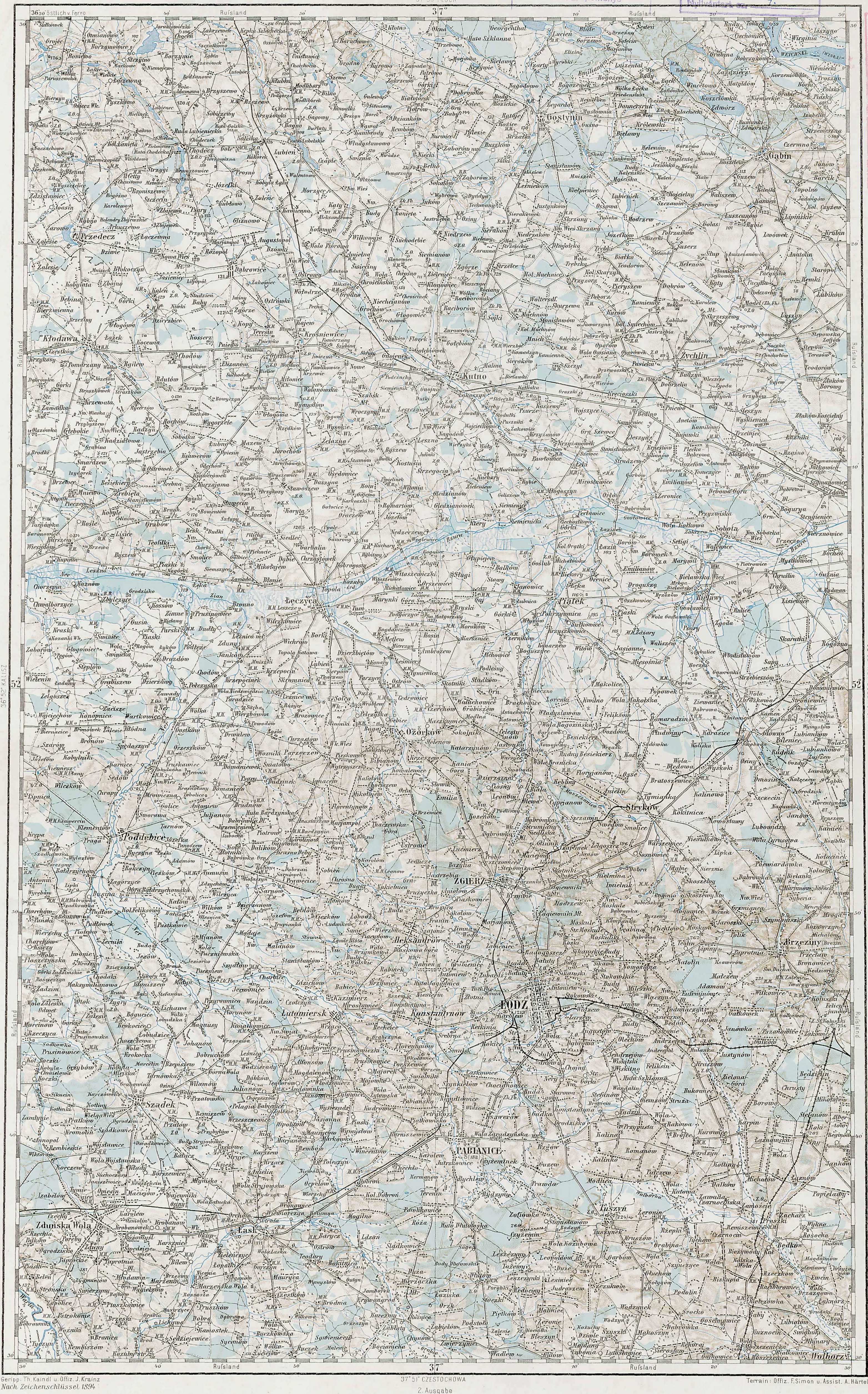
37°E52°N
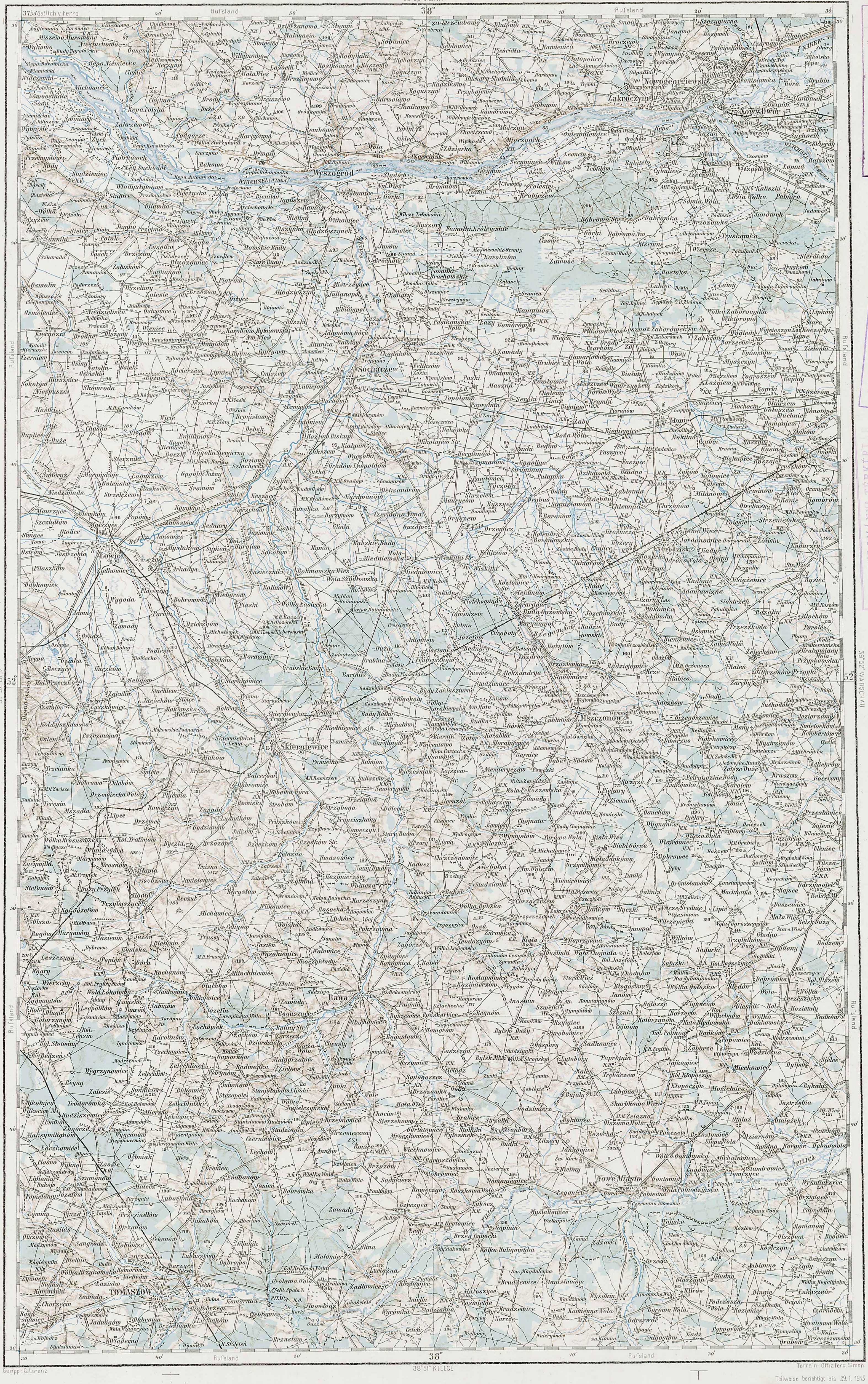
38°E52°N
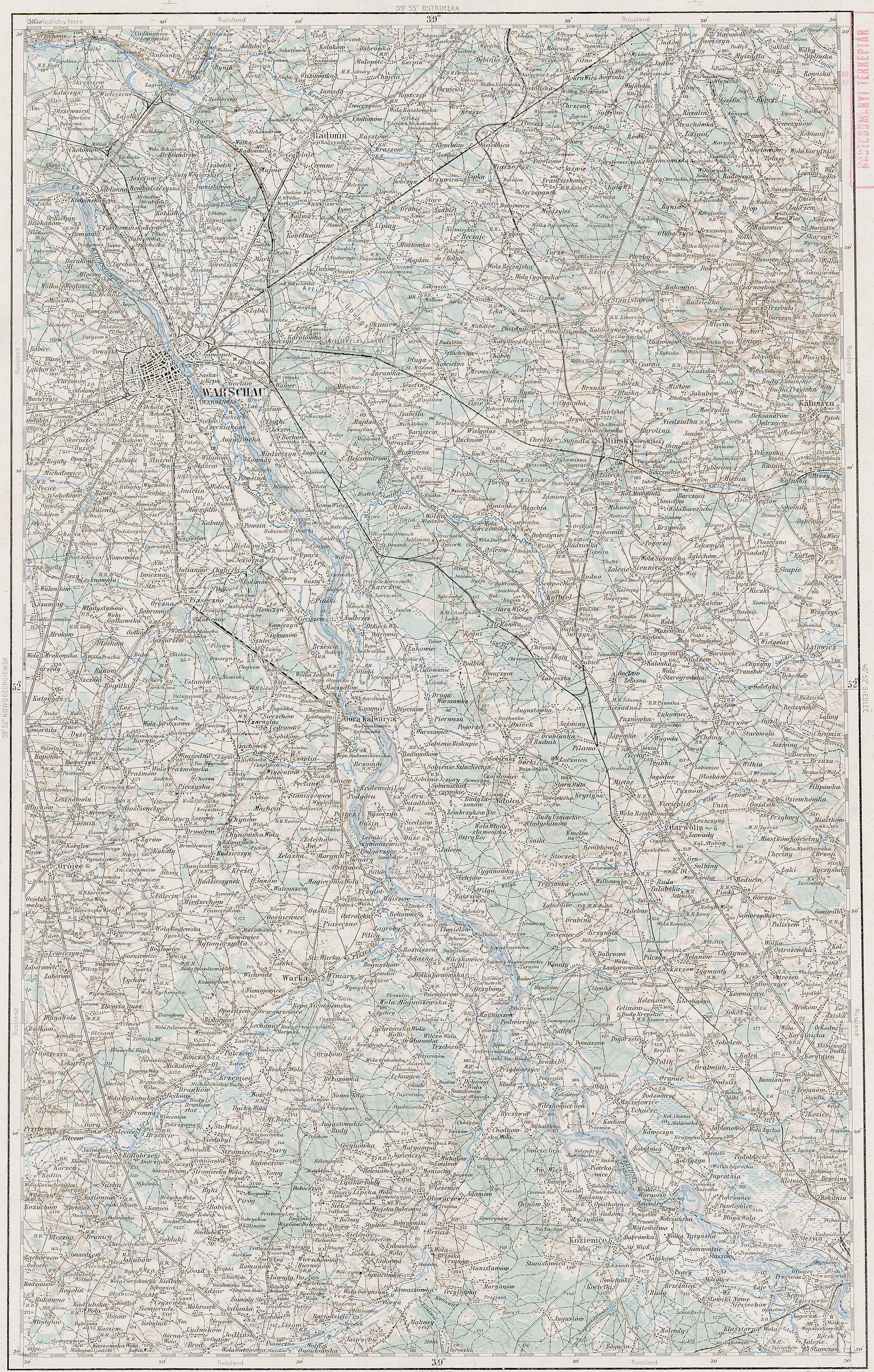
39°E52°N
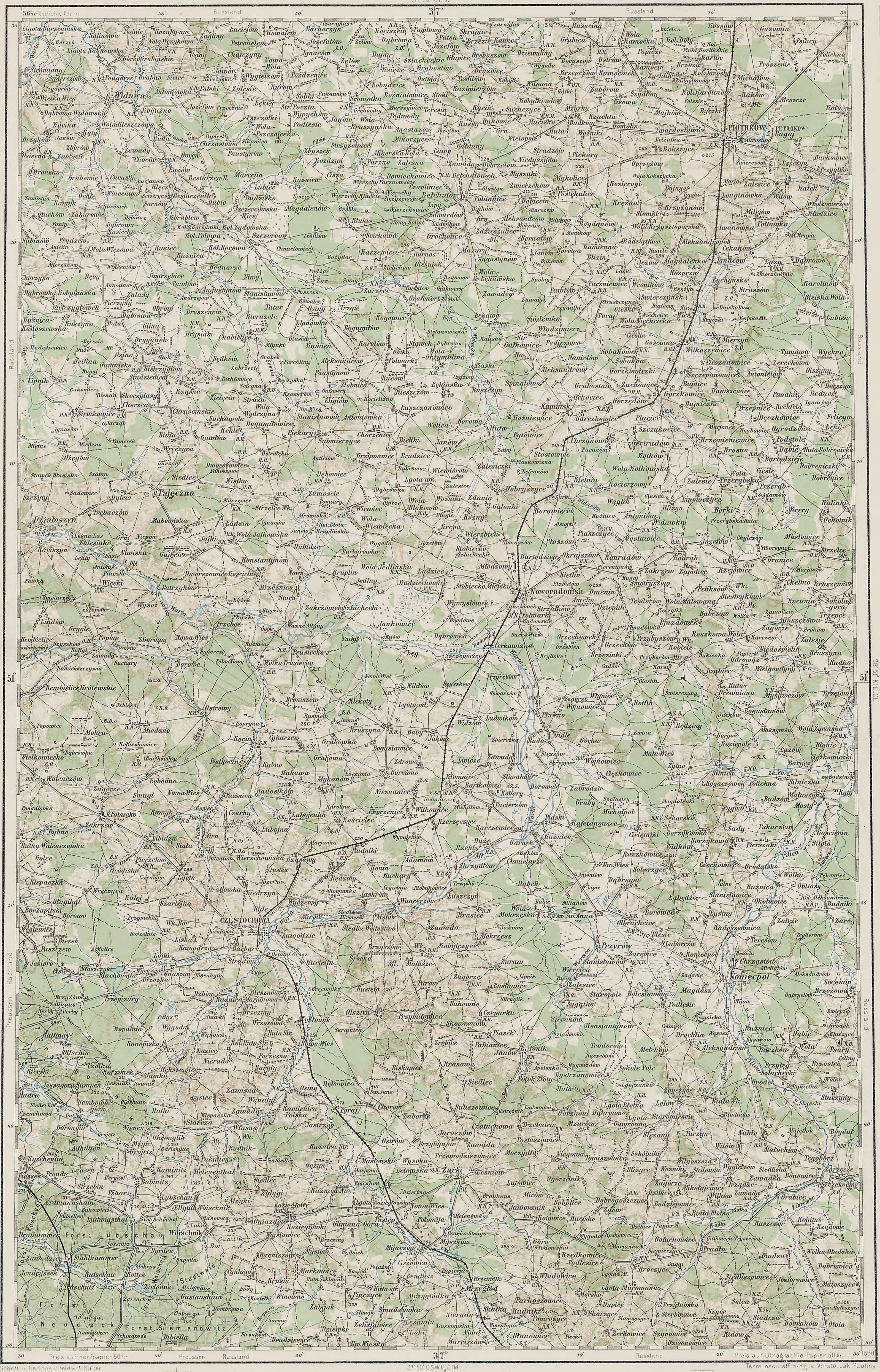
37°E51°N
38°E51°N
39°E51°N
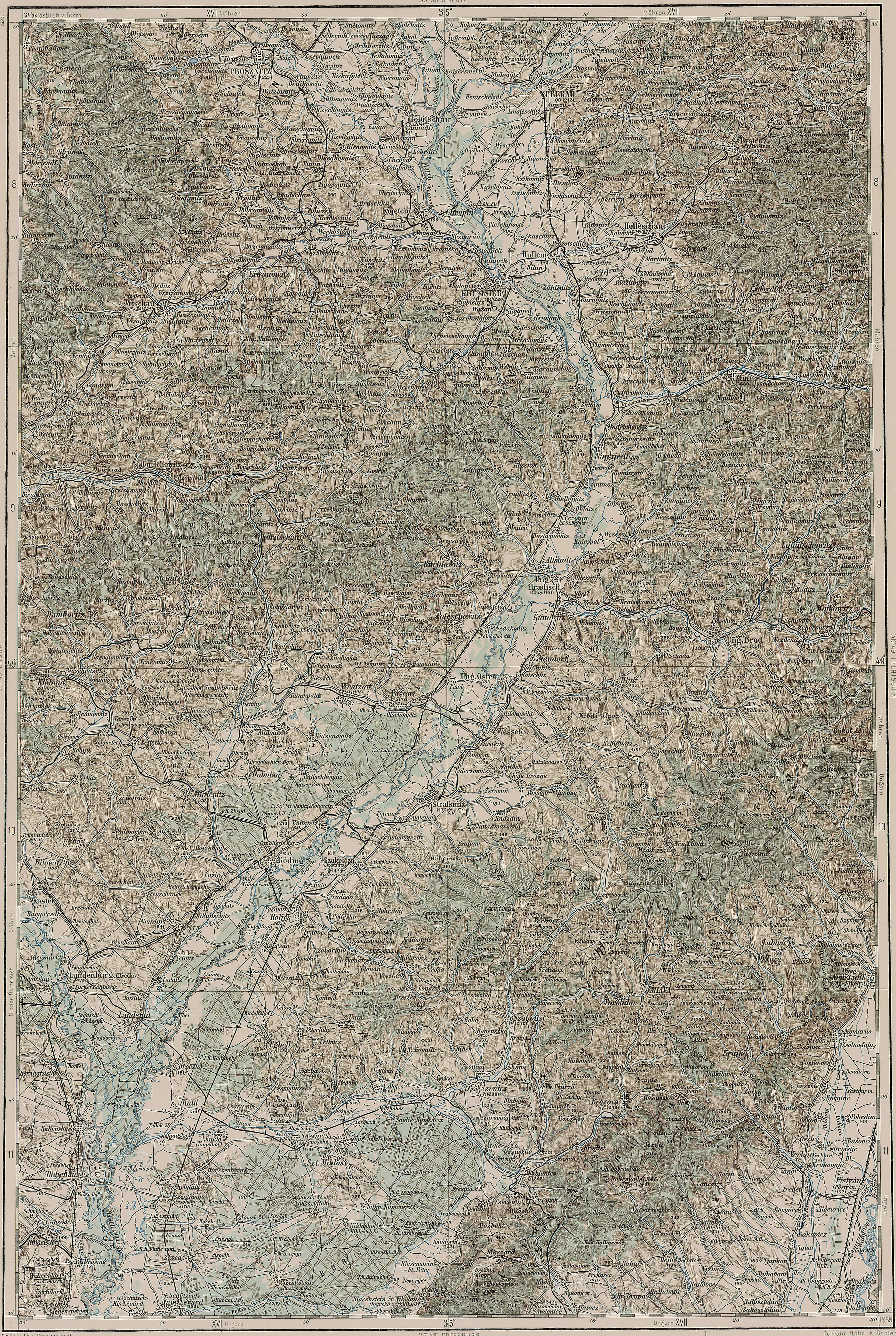
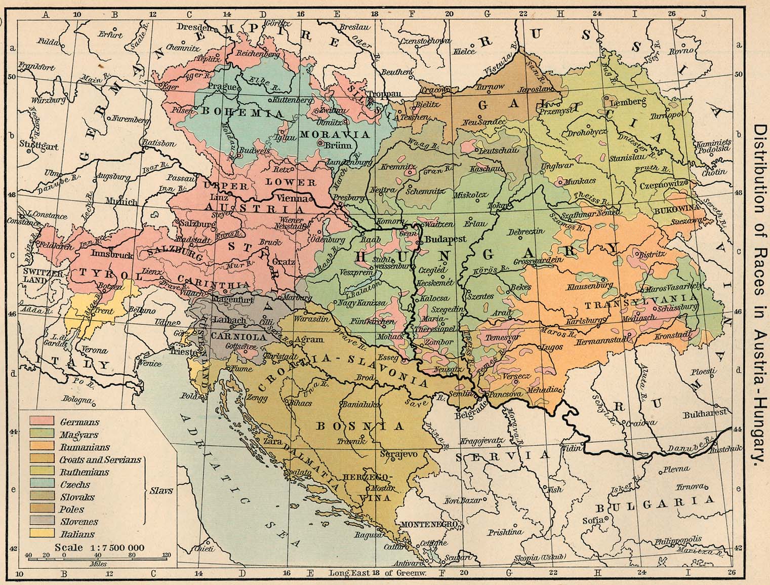
1911 Austria-Hungary
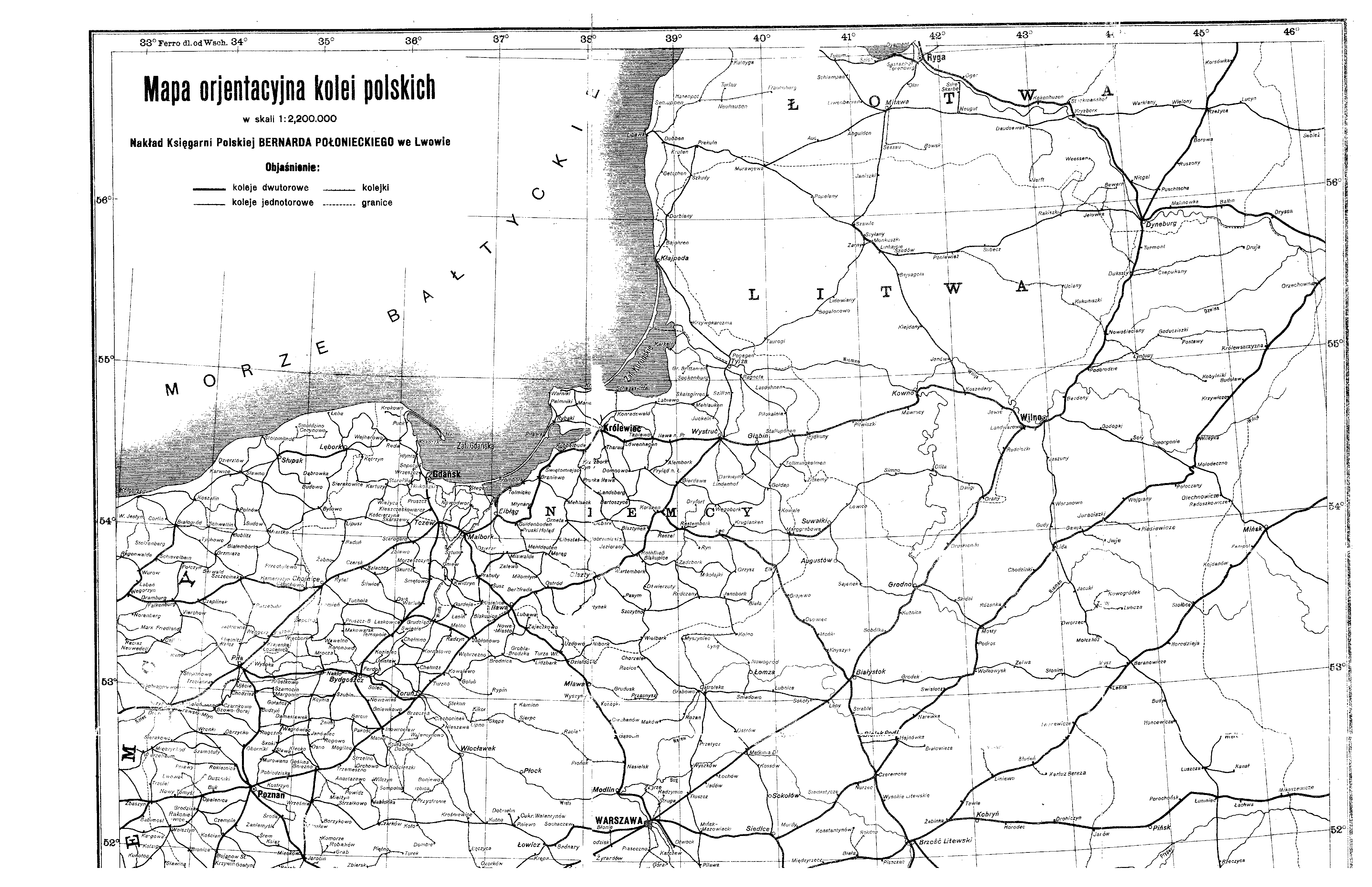
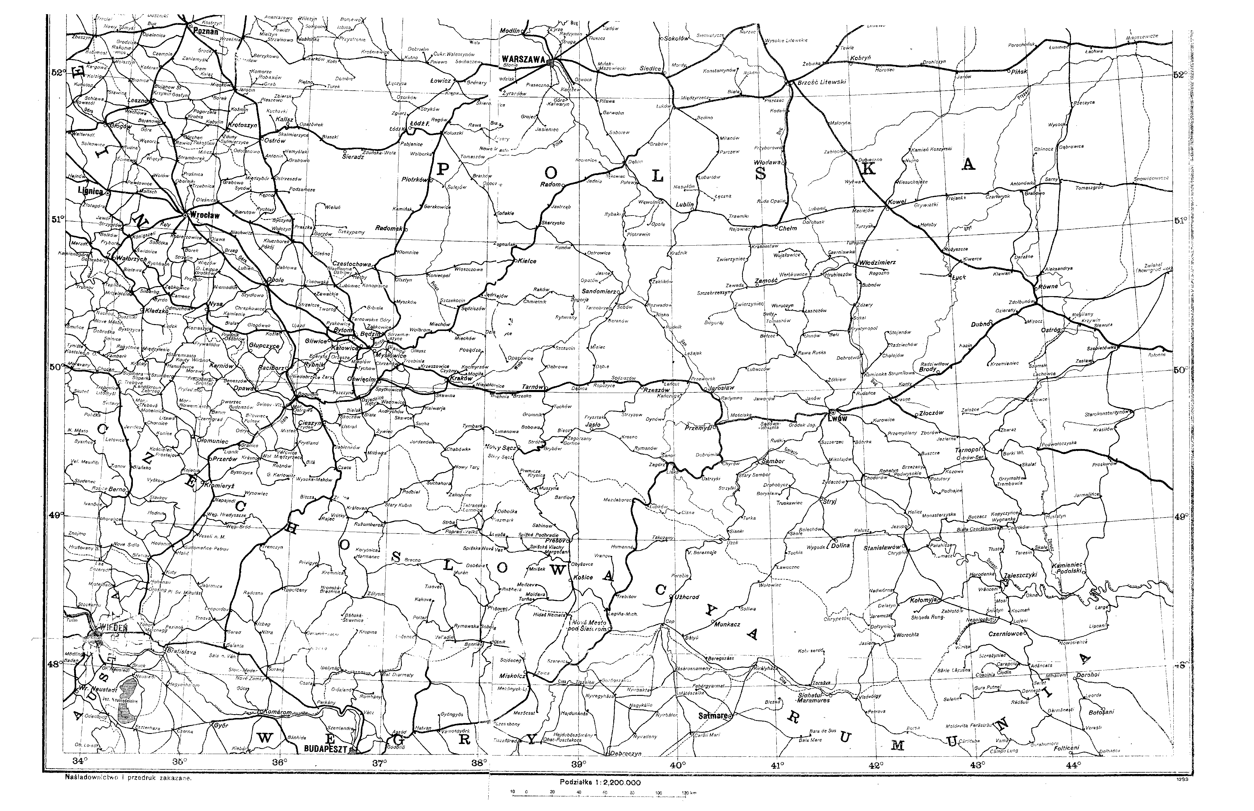
1923 Polish Railways
North
South
Current Satellite Maps
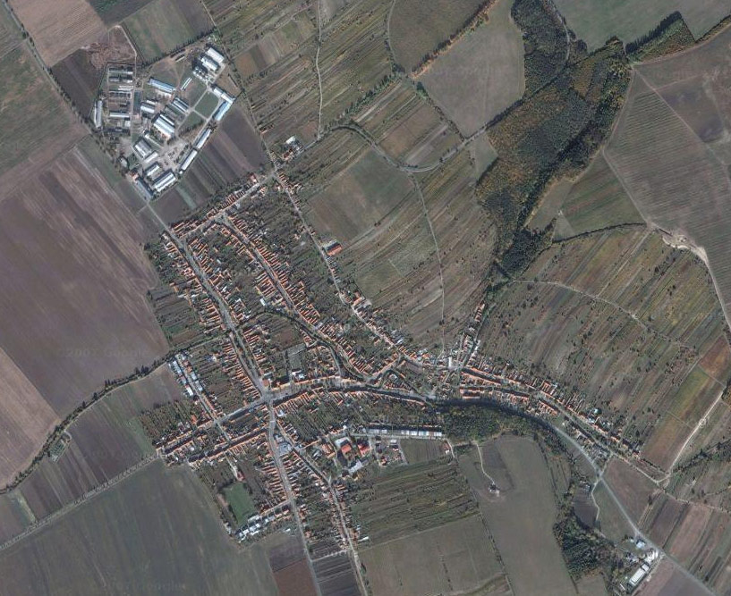
Blatnice pod Svatým Antonínkem [overview]
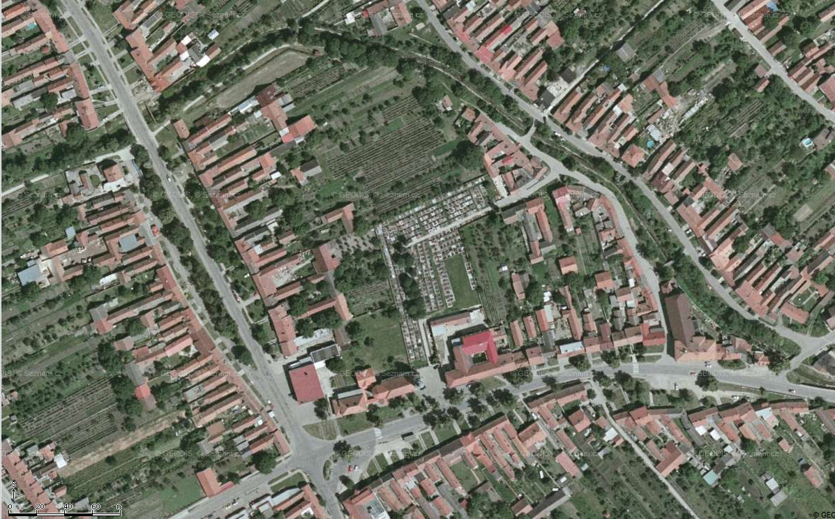
Blatnice pod Svatým Antonínkem [zoom]
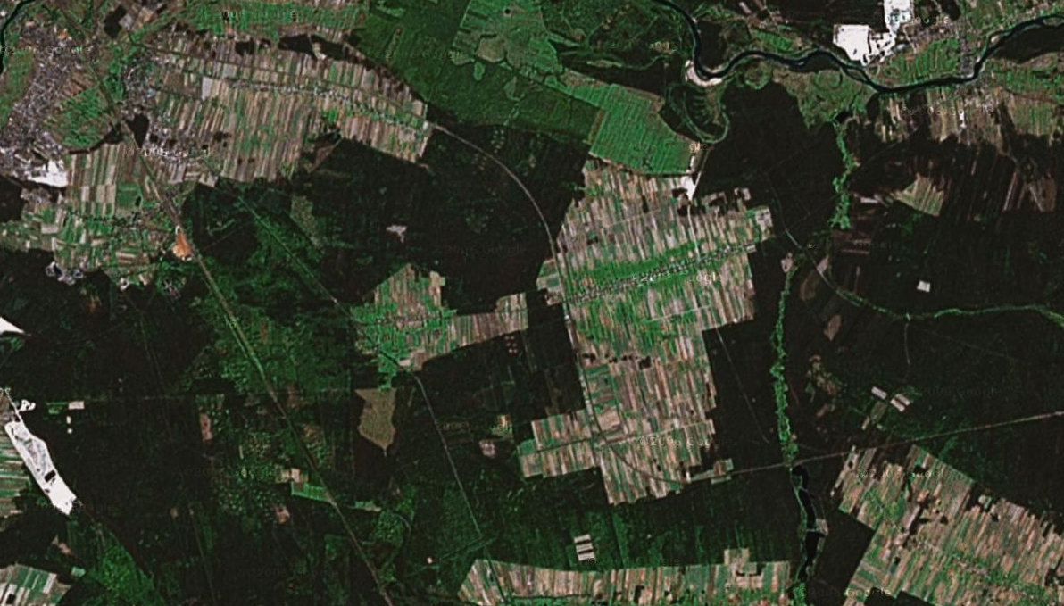
Brzustów
Google Map of Blatnice pod Svatým Antonínkem
Google Map of Brzustów
Go Back | Zurück | Powrót | Zpět
copyright © 2001-2008 by mochola, last updated 1008Y2K8, best with IE5.5 1024x768px, 3 sec over 56.6 bps
